Power station topographical survey
- Location: Nottinghamshire
- Services Used:
- Aerial Mapping
- Topographic and Measured Surveys
The problem and the solution
Our client was tasked to undertake a full area topographical survey to a disused Power Station site to enable design work for the site’s future usage.
Located adjacent to the river Trent, calculations were required as to the feasibility of cutting the existing ash stockpile to fill the remainder of the site to bring levels above the flood risk level.
Given the size of the site together with difficult access to some areas for traditional survey methods the client requested assistance from H&W to provide a UAV solution to capture the required data.
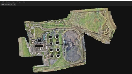
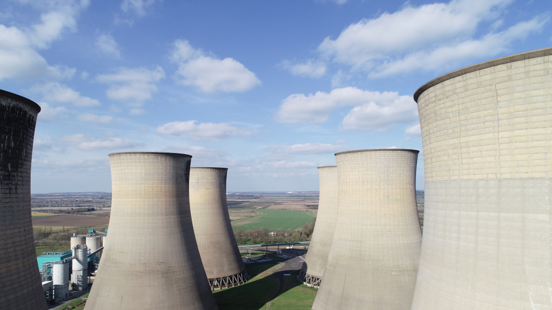
Whilst a complex site to fly due to existing Chimney and Cooling Tower obstructions the full site was mapped successfully using UAV to deliver an accurate Point Cloud, DSM and Orthomosaic, allowing the client to supplement their existing traditionally captured data to deliver a successful outcome to the end client.
Positive Outcomes:
- Rapid, accurate data capture
- Safe working with no requirement to enter inaccessible areas
- Rich dataset of both elevation data and visual reference data in the Point Cloud and Orthomosaic
Power Station Fly Through
no audio on video
Latest projects
